Maps provide researchers a way to visualize the country, state, and county boundaries. It is possible for an ancestor to live in the same home and yet "move" to several different counties within a 10 year period. Kentucky's county borders often changed, so it is useful to study the maps so you have an idea of the land.
Maps of Floyd County
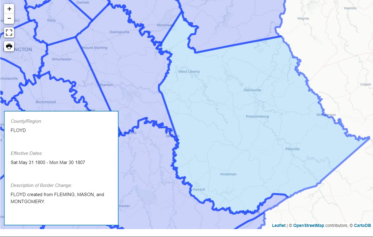
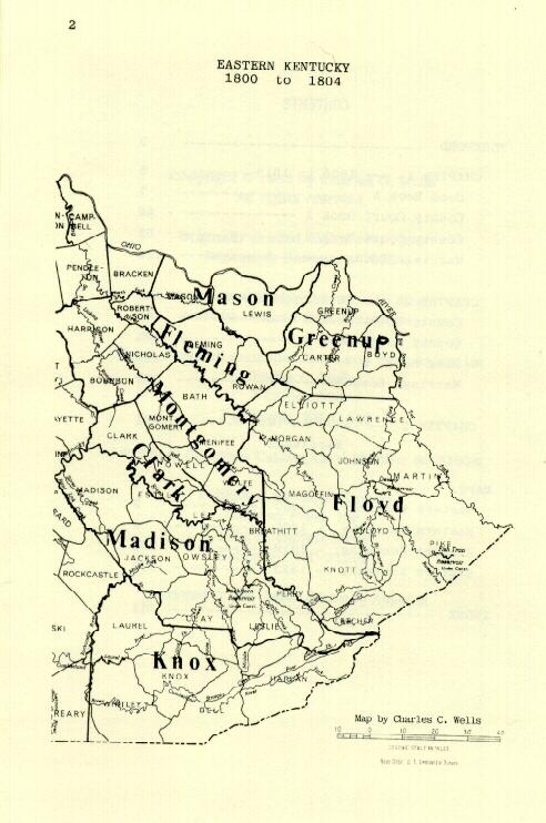
- Floyd County 1800
- Kentucky 1862
- Beaver Creek Consolidated Coal Co- 1910
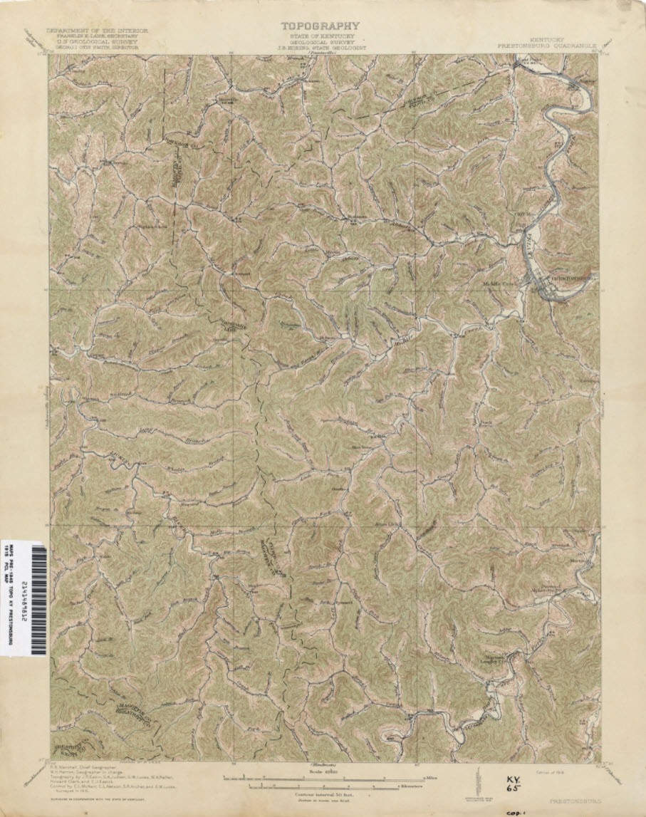
- Prestonsburg Topo Map - 1915 (low res) (University of Texas)
- Floyd County Map 1937 [PDF]
- Floyd County Map 1955 [PDF]
- Floyd County Map 1994 [PDF]
- Floyd County Map 1999 [PDF]
Maps of Kentucky
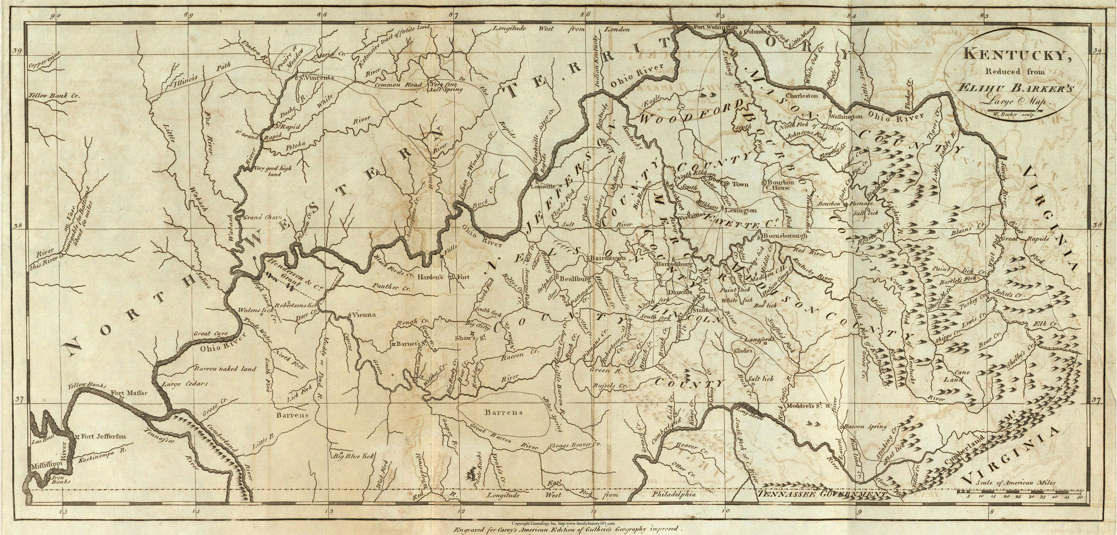
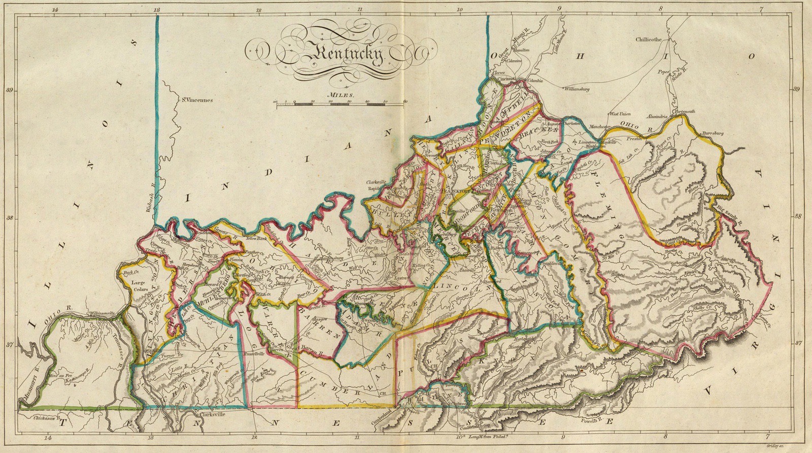
- KY 1795
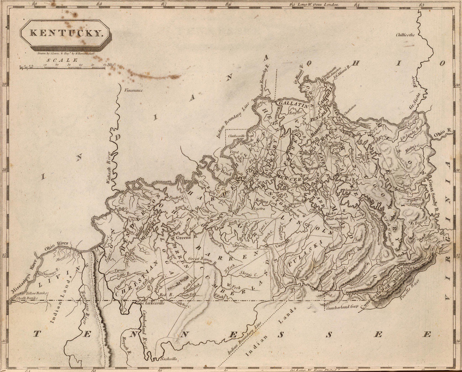
- KY 1804
- KY 1814
- KY 1822
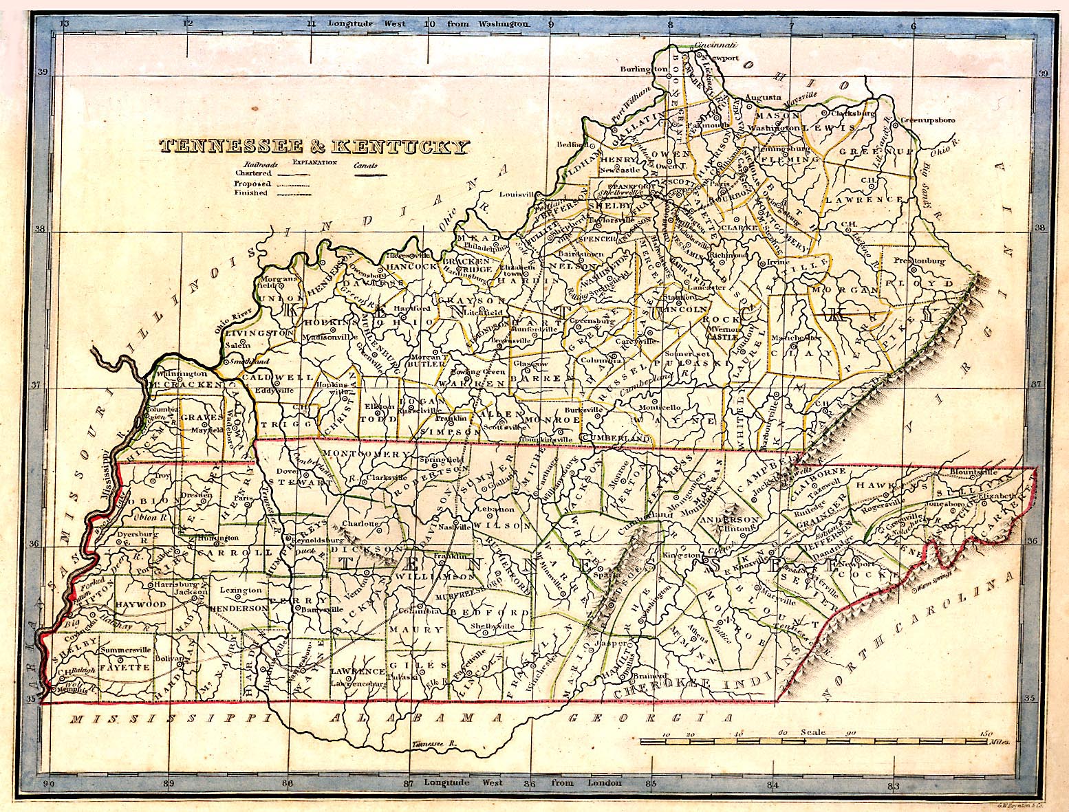
- KY - Tenneesee 1827
- KY - Tenneesee 1835
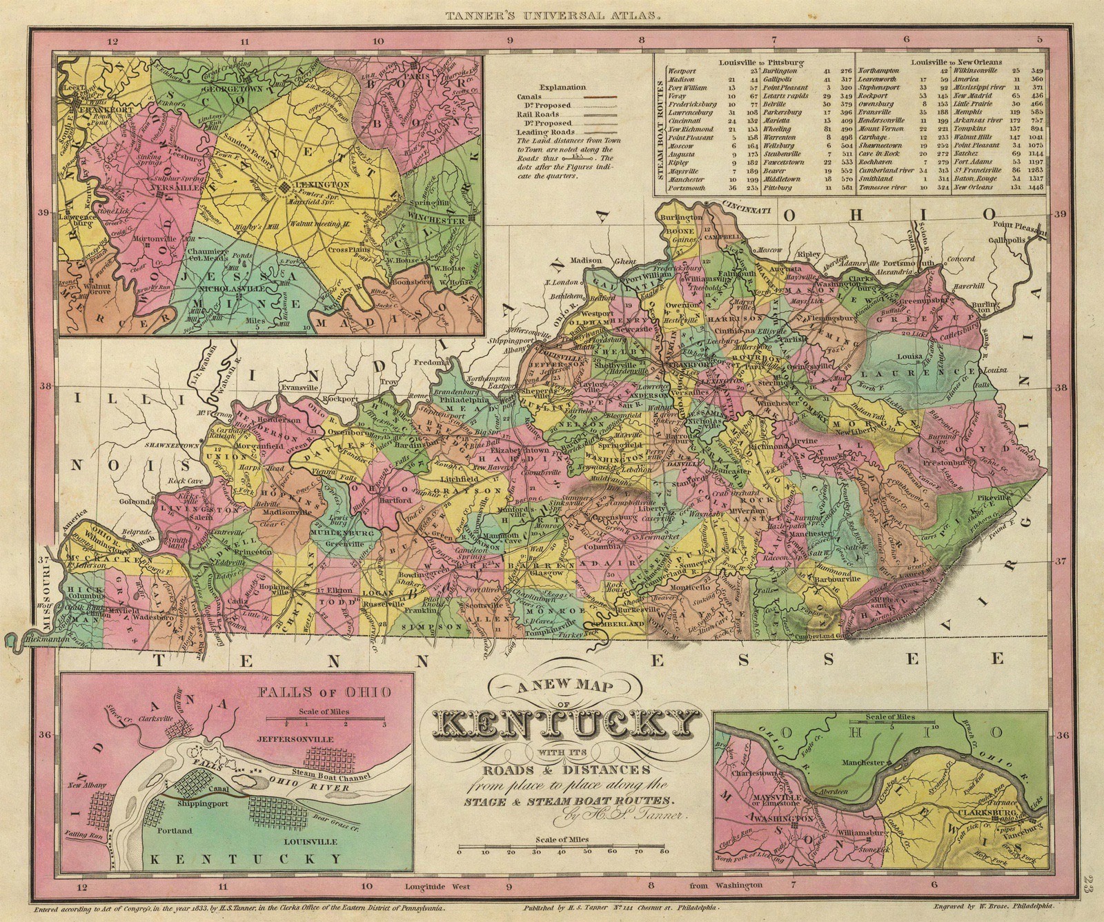
- KY 1836
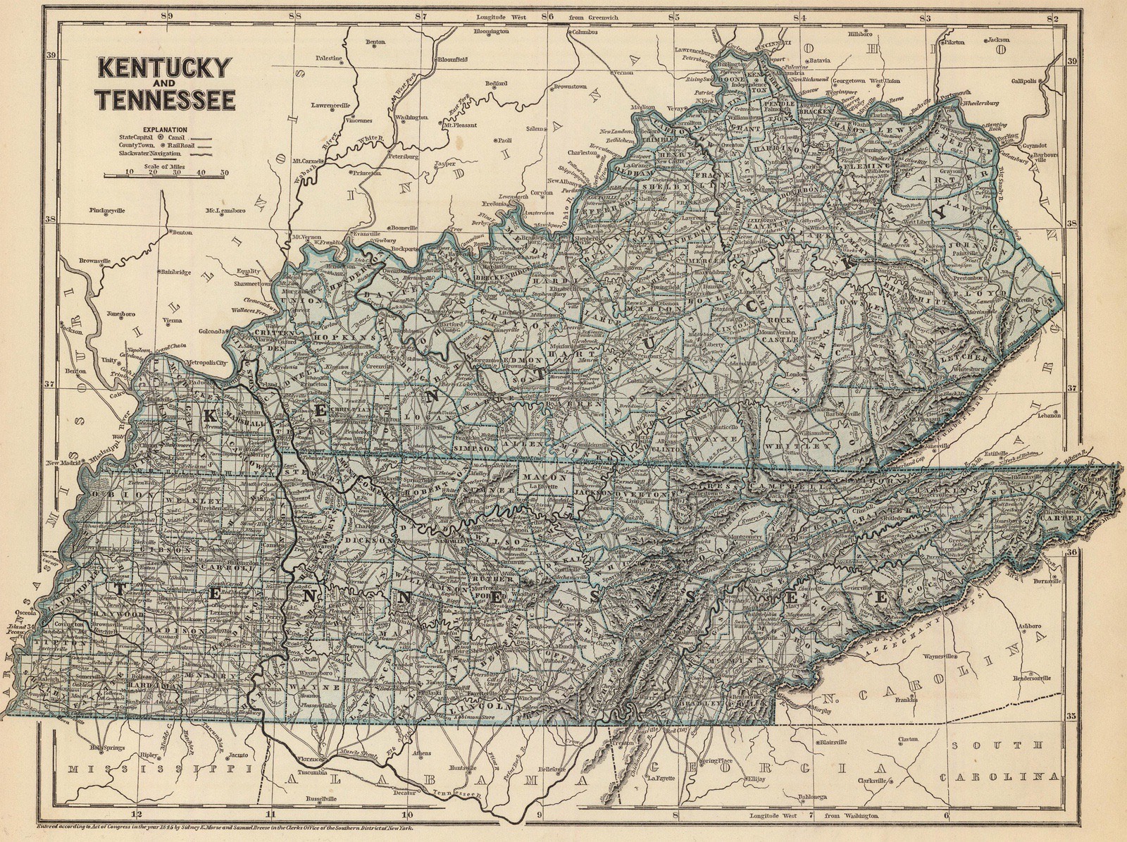
- KY - Tenneesee 1845
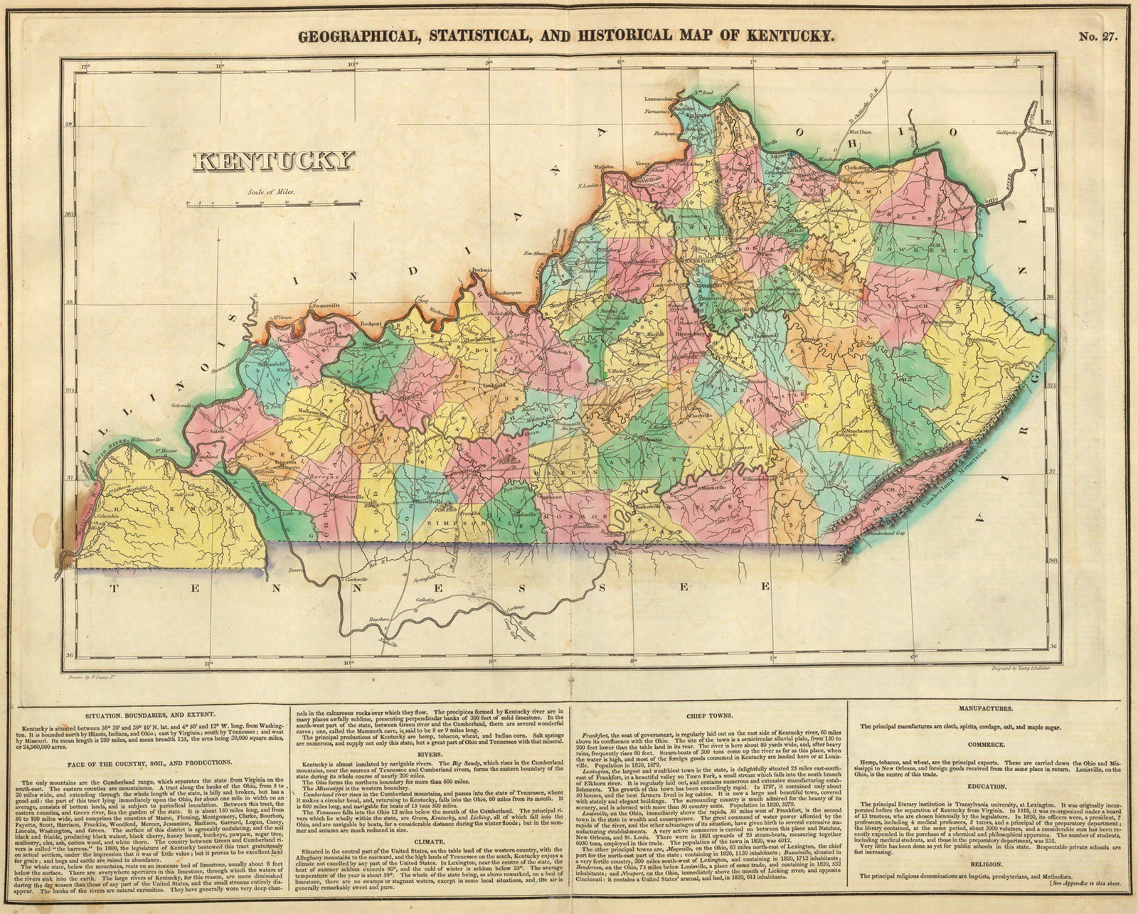
- KY 1850 [hi-res]
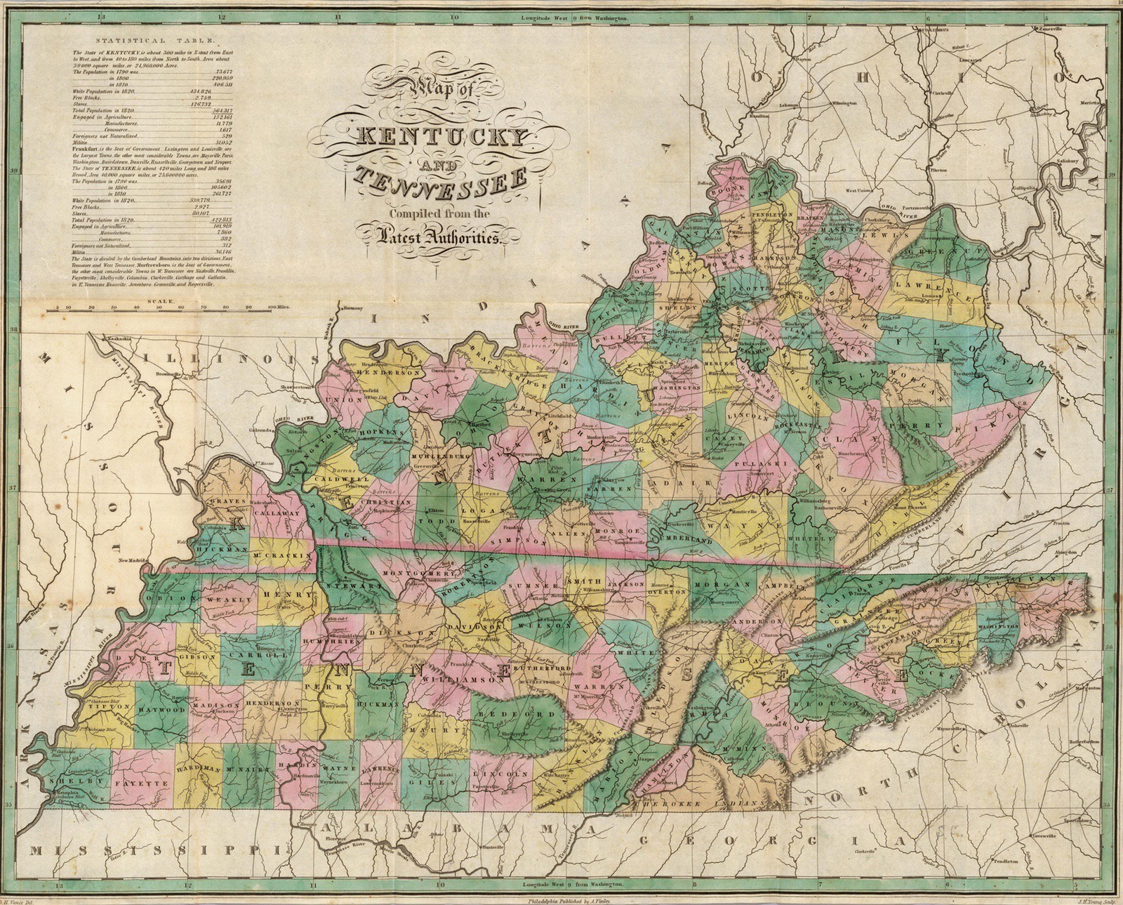
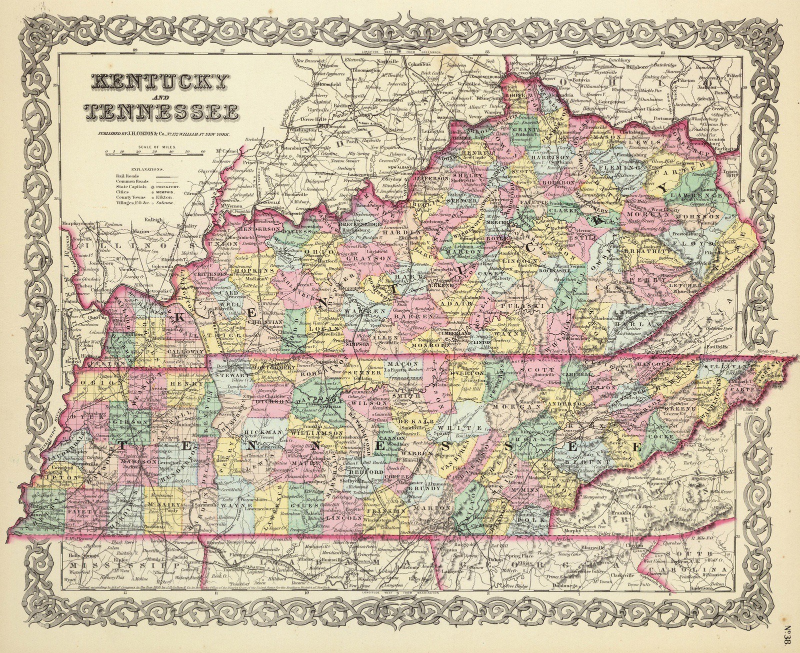
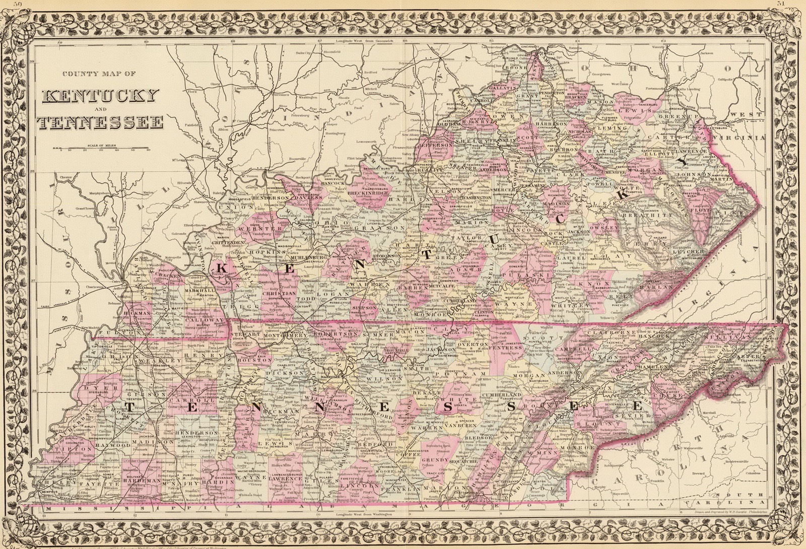
- KY - Tenneesee 1856
- KY 1862 [low-res]
- KY - Tennessee 1880
![KY 1850 [hi-res]](images/ky-maps-1850-hi-res.jpg)
![KY 1862 [low-res]](images/ky-maps-1862-low-res.png)