|
Historic Maps |
|
|
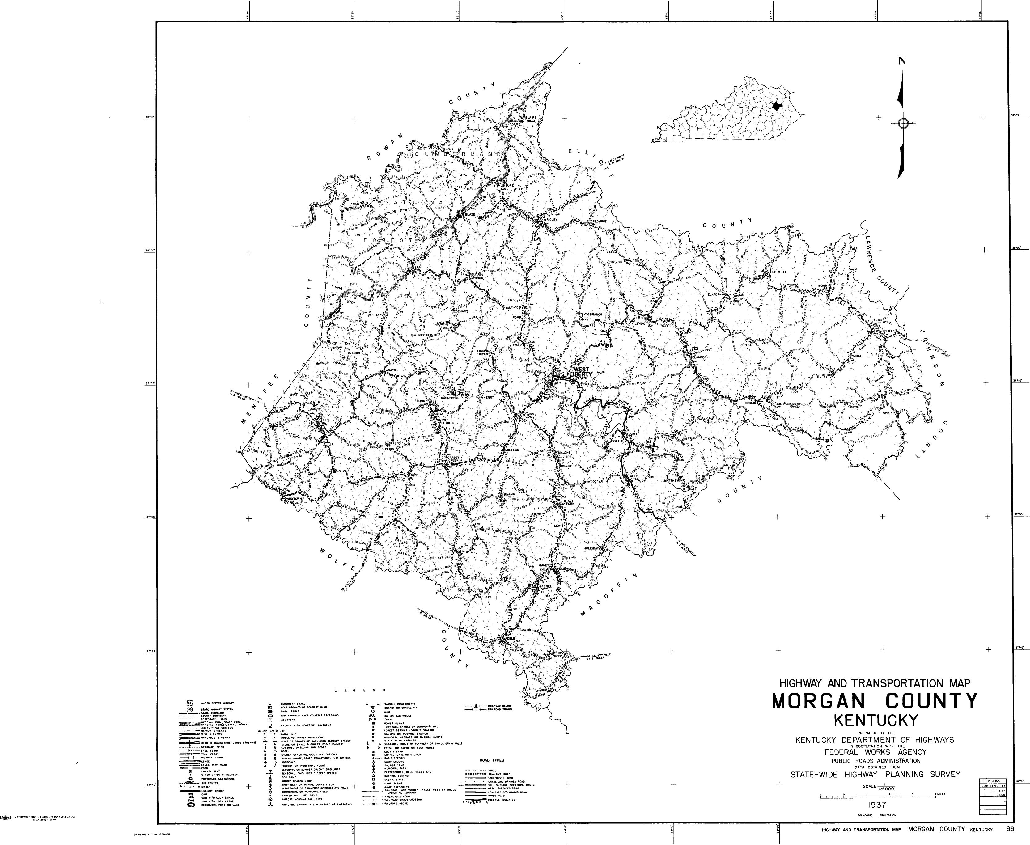
Click on map again to enlarge. 1862 - the Morgan County area from Lloyd's Official map of the State of Kentucky. Courtesy of Library of Congress 1880 - a crop of the Morgan area from Kentucky Geological Survey's map of Morgan, Johnson and parts of Magoffin, Floyd and Martin counties. A great map for family researchers showing numerous landowners, creeks and early roads. Courtesy of Library of Congress. 1937 - a Highway and Transportation map of Morgan County showing communities, creeks and roads. Courtesy of Kentucky Transportation Cabinet 1948 - a crop of Morgan from a Hammond Railroad map of Kentucky. Courtesy David Rumsey Map Collection. 1950 - a Highway and Transportation map of a more advanced Morgan County showing communities, creeks and additional roads. Courtesy of Kentucky Transportation Cabinet |
|
|
Contacts
|
|
|


|